


Wingtra
76 Case Studies
A Wingtra Case Study
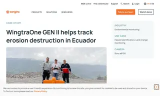
Andes Waypoint faced the challenge of monitoring massive and rapid erosion along Ecuador's Coca River, which was destroying critical infrastructure. Their previous methods using smaller drones were inefficient, covering only very small areas. Wingtra provided a solution with its WingtraOne GEN II drone to capture high-resolution data of this difficult-to-access area.
The Wingtra solution enabled Andes Waypoint to cover approximately 300 hectares per flight, a massive increase in efficiency. This allowed them to provide comprehensive, high-accuracy data to national and local authorities. The WingtraOne GEN II proved to be a vital tool for tracking the erosion's destruction and supporting the response efforts.
76 Case Studies