


Virtalis
24 Case Studies
A Virtalis Case Study
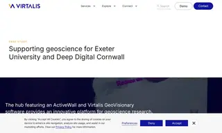
The University of Exeter, leading the Deep Digital Cornwall project, needed to provide regional businesses and researchers with advanced tools to visualize and analyze complex underground geoscience data, such as archival mine maps and modern geological surveys. They partnered with Virtalis to implement a solution centered on the Virtalis ActiveWall and GeoVisionary software.
Virtalis provided an immersive 3D and 4D data visualization suite that transformed hard-to-interpret 2D maps and large datasets into interactive, easy-to-understand models. This solution enabled over 65 SMEs to engage with the technology, with 18 directly using it to explore their own data, and facilitated over 1400 hours of data curation. The Virtalis technology made cutting-edge geospatial analysis accessible, allowing users to uncover new insights for mining, geothermal exploration, and environmental risk assessment.
24 Case Studies