
Steema Software
23 Case Studies
A Steema Software Case Study
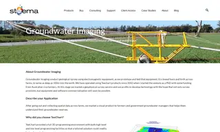
Groundwater Imaging, a company specializing in geological surveys using electromagnetic equipment, needed a way to process and visualize complex 3D spatial data to help farmers understand groundwater reserves. They turned to Steema Software and its TeeChart product for a tailored programming environment that could handle their unique data visualization requirements.
Using TeeChart from Steema Software, the company developed a highly customized 3D mapping solution that allowed for efficient data processing and interactive editing. This enabled them to rapidly create visual products that were impossible to develop with off-the-shelf software. The solution was so effective that Steema's components provided a viable way to present critical geophysical data, which was fundamental to the company's service offering and future technology development goals.
David Allen
Geophysicist/Principal
23 Case Studies