


Spatial Vision
55 Case Studies
A Spatial Vision Case Study
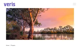
The Department of the Environment faced the challenge of manually compiling a massive volume of disparate state and territory data to update its Collaborative Australian Protected Areas Database (CAPAD) in time for a major international congress. Their existing process was so time-consuming that they risked missing the deadline for the IUCN World Parks Congress. Spatial Vision was engaged to develop a solution.
Spatial Vision developed a series of Python scripts that automated the consolidation, analysis, and formatting of the protected areas data. This solution resolved spatial overlaps and generated the necessary reports, enabling the Department to successfully present at the World Parks Congress. The project delivered significant long-term benefits for the Department, drastically reducing manual effort and ensuring future CAPAD updates could be assembled faster and more efficiently.
55 Case Studies