


Spatial Vision
55 Case Studies
A Spatial Vision Case Study
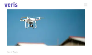
The Australian Government, through the Department of Infrastructure, Transport, Regional Development, Communications and the Arts, faced a challenge in managing and accurately communicating thousands of complex drone rules to the public. Their Drone Rules Map required improved data accuracy, particularly for correctional facilities, and a more robust system to manage the spatial data. The government contracted Spatial Vision (now operating in Veris) for its expertise in database and geospatial solutions.
Spatial Vision designed and delivered a centralized, authoritative spatial database to serve as a single source of truth for all drone rules. This solution improved data accuracy, streamlined management workflows, and future-proofed the system for easier updates from stakeholder agencies. The project significantly enhanced the reliability of the Drone Rules Map, giving the department confidence in the public-facing data and enabling end-users to make informed decisions before flying drones.
55 Case Studies