


Spatial Vision
55 Case Studies
A Spatial Vision Case Study
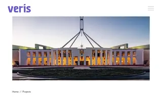
The Australian Electoral Commission (AEC) faced the challenge of producing a high volume of accurate and easily readable maps for its public consultation process on federal electoral boundary redistributions. The maps needed to be delivered on a tight deadline and work across multiple formats, from small greyscale inserts in reports to large wall posters, while clearly displaying complex and overlapping boundaries. Spatial Vision, now operating as Veris, provided digital mapping support to meet this need.
Veris implemented a solution using powerful automation tools to efficiently generate map bases, allowing their team to focus on complex details. They utilized a cloud-based workflow for rapid client collaboration and quality assurance. This ensured the timely delivery of maps that scaled effectively across all required formats, were clear in both color and greyscale, and kept the public consultation process on schedule.
55 Case Studies