


Sofar Ocean
18 Case Studies
A Sofar Ocean Case Study
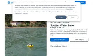
The United States Geological Survey (USGS) required a method to rapidly monitor hurricane-induced storm surge along the vulnerable Gulf Coast. To address this challenge, they turned to Sofar Ocean and deployed its Spotter Water Level solution.
Sofar Ocean implemented its rapidly deployable, satellite-connected Spotter Water Level system, which provides real-time atmospheric and subsurface pressure data. This allowed USGS to effectively track tidal changes and precisely measure storm surge in real time. The solution provided critical data for monitoring extreme storms, enhancing coastal flood prediction and community safety.
18 Case Studies