


Shoothill
25 Case Studies
A Shoothill Case Study
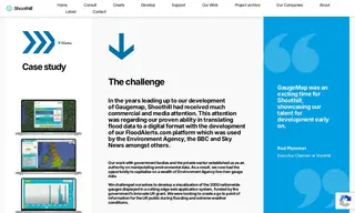
Shoothill was engaged by Flood Alerts to capitalize on a wealth of Environment Agency river gauge data. The challenge was to develop a cutting-edge web application that could visualize data from 3,000 nationwide gauges, creating a go-to point of information for the UK public during flooding and extreme weather conditions.
Shoothill developed GaugeMap, a live mapping system that displayed river level data on an interactive Google Maps interface. The solution included features like real-time graphing, historical data comparison, and the creation of over 3,000 automated Twitter accounts to distribute information. The project was a major success, earning millions of hits in its first year and winning the Open Data Institute’s Innovation Award. Shoothill's solution provided an unparalleled level of insight into environmental data, with countless sites still embedding its widgets and relying on its output years later.
25 Case Studies