


Pix4D
122 Case Studies
A Pix4D Case Study
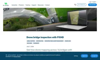
Linear Projects Inspection & Monitoring (LPIM), an infrastructure inspection firm based in Bogotá, Colombia, faced significant challenges with traditional bridge inspection methods. These included safety risks from accessing hard-to-reach areas, a lack of complete visual coverage, slow turnaround times, poor traceability of defects, and no objective digital record. To address these issues, LPIM employed Pix4D's photogrammetry software, PIX4Dmatic and PIX4Dcloud, for a project inspecting 16 urban bridges.
Using Pix4D's solutions, LPIM processed drone-captured imagery to create precise 3D models and orthomosaics. This methodology cut field inspection times by 75%, eliminated safety risks for workers, and guaranteed 100% visual coverage of the structures. The solution provided georeferenced digital evidence, significantly improving the objectivity and traceability of findings for long-term maintenance, while PIX4Dcloud facilitated seamless collaboration with clients throughout the project.
122 Case Studies