
Ordnance Survey
213 Case Studies
A Ordnance Survey Case Study
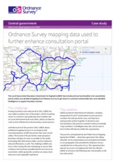
The Local Government Boundary Commission for England (LGBCE) needed to make its boundary review consultations more accessible and to capture richer, more accurate feedback while driving down costs. To do this it worked with Informed Solutions and incorporated Ordnance Survey mapping under the Public Sector Mapping Agreement (PSMA) to move from static PDF maps to an interactive web portal that brings proposed boundaries online and improves the user experience.
Informed Solutions added interactive boundary-click information, drawing tools and flagging so citizens can identify wards, view electorates and propose alternative boundaries using detailed Ordnance Survey vector data. The new portal cut printing and postage costs (including a £70,000 year‑on‑year saving on mapping production), delivered a 28% reduction in printing costs for 2013–14, helped meet the 5% Spending Review target, and raised public feedback by over 100% on some reviews—overall efficiency gains exceed £100,000 per year.
Alan Cogbill
Chief Executive
213 Case Studies