
Mapbox
217 Case Studies
A Mapbox Case Study
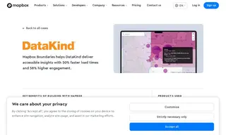
DataKind, a nonprofit that tackles global challenges with data science and AI, needed a mapping solution to make complex housing and health data accessible to a broader, non-technical audience. Their tools required highly granular data visualization without sacrificing performance. They partnered with Mapbox, using products like Mapbox Boundaries and the Geocoding API, to overcome these challenges.
Mapbox provided a solution that integrated seamlessly with DataKind's React.js architecture, offering high-performance rendering of census tracts and other boundaries. This implementation resulted in a 50% reduction in load times, a 58% increase in monthly active users, and the elimination of a 15% rendering error, enabling DataKind to scale its impact and deploy five additional applications in a single year.
217 Case Studies