


Geoplan
34 Case Studies
A Geoplan Case Study
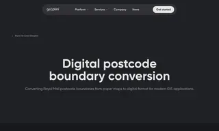
Royal Mail faced a challenge as its paper-based postcode boundary maps needed conversion to a modern digital format to meet rising demand from applications like insurance and navigation. The company partnered with Geoplan for this digital conversion project.
Geoplan successfully converted the postcode boundaries into standard GIS files right the first time, on budget and on schedule, establishing a system for bi-annual updates. This solution generated new revenue streams, created a flagship geographical data product, and enabled more efficient operations including improved first-time mail allocation for Royal Mail.
34 Case Studies