


Geoplan
34 Case Studies
A Geoplan Case Study
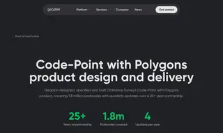
The customer, Ordnance Survey, faced the challenge of designing and building a highly accurate postcode boundary product, Code-Point with Polygons, from address-level data to serve thousands of users with a consistent and reliable data supply.
The vendor, Geoplan, solved this through a 25+ year partnership where they designed, specified, and built the product using boundary creation via tessellation and rigorous quality assurance. This solution delivered quarterly updates for 1.8 million postcodes, which increased Ordnance Survey's revenue and enabled advanced spatial analysis for its users.
34 Case Studies