


Geomotiv
37 Case Studies
A Geomotiv Case Study
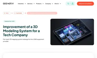
Mezmeriz, a cutting-edge technology company producing LiDAR equipment and software for 3D scanning, faced challenges with its existing third-party software. The application struggled to upload, view, and manage multiple 3D model formats and required a robust system for processing raw scans and tracking construction progress with annotations. To overcome this, Mezmeriz partnered with vendor Geomotiv for a full-stack redesign of its 3D mapping system.
Geomotiv implemented a comprehensive solution that included a unified platform using Potree and Autodesk Forge for viewing diverse models, an automated format conversion system on AWS, and a containerized back-end for data processing. They also developed a versatile annotation system and enhanced the user interface. The results significantly improved the system's efficiency in analyzing 3D models and data formats. The upgrade, which included a comprehensive permission system for handling multiple projects and user roles, empowered Mezmeriz to enhance its product offerings and service quality.
37 Case Studies