

Flyability
114 Case Studies
A Flyability Case Study
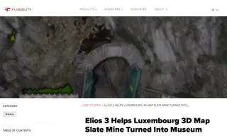
The Luxembourg's Division of Mines, Mining, and Quarries faced the challenge of safely mapping an old slate mine being converted into a museum. The dangerous and inaccessible environment made traditional mapping methods like handheld LiDAR or aerial photogrammetry impractical and time-consuming. They turned to Flyability and its Elios 3 drone to address this.
Flyability's solution utilized the Elios 3, an indoor drone equipped with a LiDAR sensor and SLAM technology, to create real-time 3D maps without requiring GPS. This allowed authorities to safely collect data from unstable areas. The results were highly detailed 3D models that provided essential data on mine dimensions and ground stability, which were immediately available after each flight with no processing time, enabling crucial safety determinations.
Luxembourg's Division of Mines, Mining, and Quarries
114 Case Studies