
Fathom
19 Case Studies
A Fathom Case Study
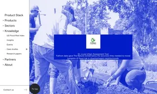
The Nature Conservancy (TNC) needed comprehensive and accurate flood hazard data to develop its St. Louis EcoUrban Assessment tool, an initiative aimed at identifying environmental inequalities. They were aware that the standard FEMA flood data significantly underestimated risk, particularly in St. Louis, which lacked detailed information on flood defenses and smaller waterways, making it difficult to pinpoint the most vulnerable communities for targeted intervention.
To address this, TNC utilized Fathom's high-resolution flood hazard data, Fathom-US 2.0, which provided a complete picture of both river and rainfall flood risk. This data was integrated into their public, interactive online tool. The solution revealed that the highest-risk neighborhoods were predominantly low-to-moderate income areas with a large majority of residents who are Black, Indigenous, and People of Color (BIPOC), validating the project's core premise and empowering community-led action with precise, localized information.
Rebecca Weaver
Missouri Cities Program Manager
19 Case Studies