
EOS
16 Case Studies
A EOS Case Study
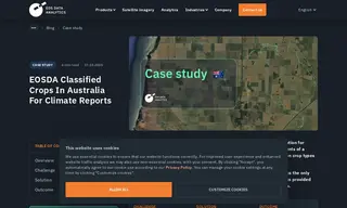
An innovative climate analytics company in Australia required precise crop classification and field boundary data for a proof-of-concept project on South Australia’s Yorke Peninsula. The challenge was meeting a tight six-week deadline without any reliable ground-truth data for model training. They engaged EOS Data Analytics to utilize its field boundary detection and crop classification solutions.
EOSDA analyzed Sentinel-2 satellite imagery, applying its Conv-LSTM AI model to successfully classify crops and detect field boundaries across 3,000 square kilometers. The solution was delivered within the client's deadline, providing the high-quality data needed. This allowed the client to successfully demonstrate the proof-of-concept to their end-user, establishing a scalable method for their climate reporting platform.
One Innovative Climate Analytics Company in Australia
16 Case Studies