


CivilGEO
9 Case Studies
A CivilGEO Case Study
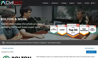
Bolton & Menk, a civil engineering firm, faced a challenge in accurately mapping a floodplain in a complex area where a highway could divert floodwater into a large wetland. Their standard steady-state HEC-RAS modeling produced unrealistic results for this scenario. The firm needed to perform an unsteady flow analysis to model how the wetland would absorb and attenuate the floodwaters, and they approached vendor CivilGEO to see if their GeoHECRAS software could accomplish this.
CivilGEO developed the needed unsteady flow floodplain encroachment capability in GeoHECRAS within four days. This solution allowed Bolton & Menk to run a hydrodynamic analysis, which correctly modeled the wetland's sponge-like effect, significantly lowering computed flood elevations. The updated maps benefited local residents, and the firm reported that GeoHECRAS's intuitive interface made updating flood maps almost effortless, cutting model-building time in half compared to previous methods.
9 Case Studies