


1Spatial
50 Case Studies
A 1Spatial Case Study
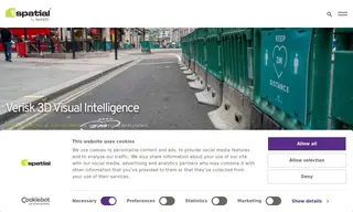
The customer, Verisk 3D Visual Intelligence, faced the challenge of quickly analyzing its UKMap database to deliver pavement width data. This was in high demand to support social distancing guidelines during the Covid-19 pandemic. With support from vendor 1Spatial and using FME Desktop, they needed a method to calculate and map this crucial information.
The solution implemented by 1Spatial enabled the customer to analyze and calculate average pavement widths. The data was delivered as a value-add to UKMap and visualized using a color-coded traffic light system, making it easy for users to identify spaces suitable for social distancing. This allowed organizations across Greater London to rapidly react to new challenges and use unambiguous, easy-to-use data for planning.
50 Case Studies