


1Spatial
50 Case Studies
A 1Spatial Case Study
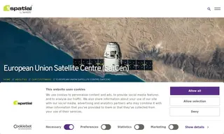
The European Union Satellite Centre (SatCen) faced a challenge with inconsistent vector data output from its wide range of geospatial intelligence products. This inconsistency necessitated a stricter quality control process for critical outputs like transport networks. To address this, SatCen partnered with 1Spatial to implement a more robust validation solution using their 1Integrate product.
1Spatial implemented a service using 1Integrate to automatically validate, enhance, and integrate vector data into the SatCen data model. The solution processed over 450 validation rules, focusing on topology and data quality. This resulted in faster integration of data sources, increased efficiency within the geospatial data workflow, and easier access to accurate reporting for SatCen.
50 Case Studies