


1Spatial
50 Case Studies
A 1Spatial Case Study
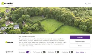
1Spatial worked with the National Trust to address a significant challenge in managing agricultural grant applications. The National Trust, responsible for 250,000 hectares of land, faced an onerous and time-consuming process to collect and validate data across 9,000 land parcels for these applications, with heavy penalties for misreporting making accuracy critical.
The solution involved implementing Geocortex Essentials, later referenced as VertiGIS Studio, to automate data validation at the point of collection. This allowed field staff to review and correct data immediately. 1Spatial's support saved the National Trust's Core Data Lead six weeks of post-collection work, reduced manual errors, and streamlined the entire grant application process, also enabling clear progress tracking toward conservation targets.
50 Case Studies